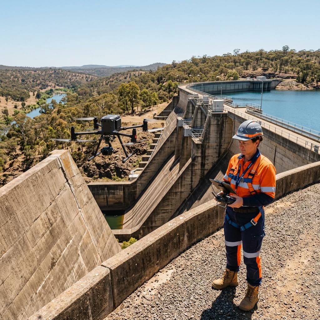
Government-grade asset intelligence across Australia.
We provide local councils, utilities, and agribusiness with AS/NZS-aligned condition assessments, non-destructive testing, and digital twin technology. Mitigate structural risk and optimise maintenance capital.
Sectors we serve
Core Capabilities
Comprehensive inspection and testing methodologies aligned with Australian structural maintenance standards.
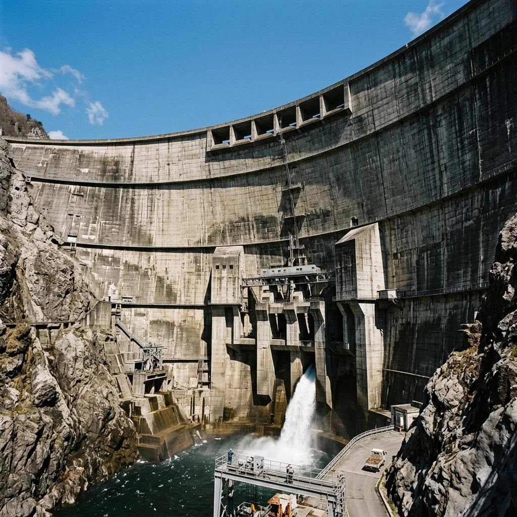
Condition Assessments
Level 1-3 structural condition assessments for civil infrastructure, bridges, and commercial facilities. NATA-aligned baseline reporting.
View service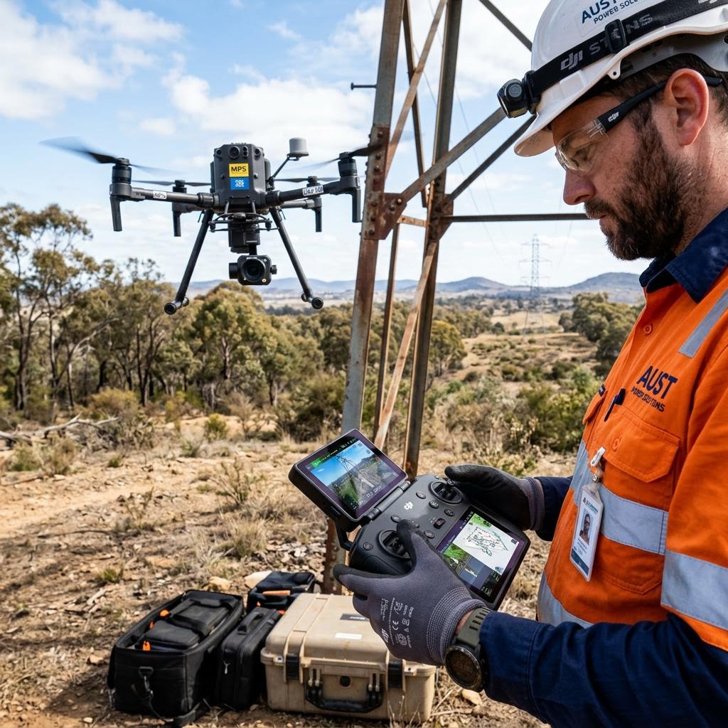
Drone & UAV Inspections
Operations by CASA-certified pilots for high-resolution visual and thermal inspections of hard-to-reach assets, including telecom towers, dam walls, and roof structures.
View service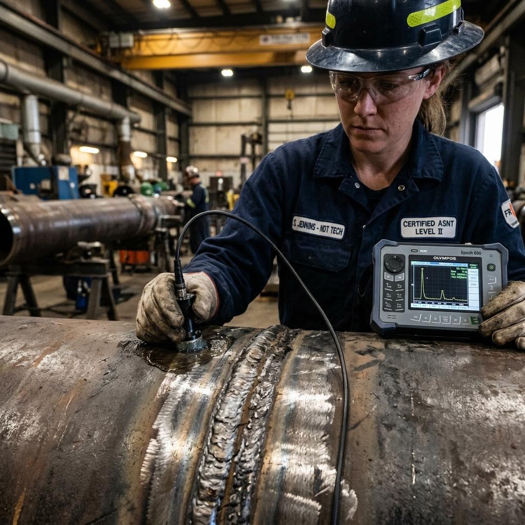
Non-Destructive Testing
Advanced NDT including Ultrasonic Thickness Measurement (UTM), Magnetic Particle, and concrete cover testing to detect internal defects.
View service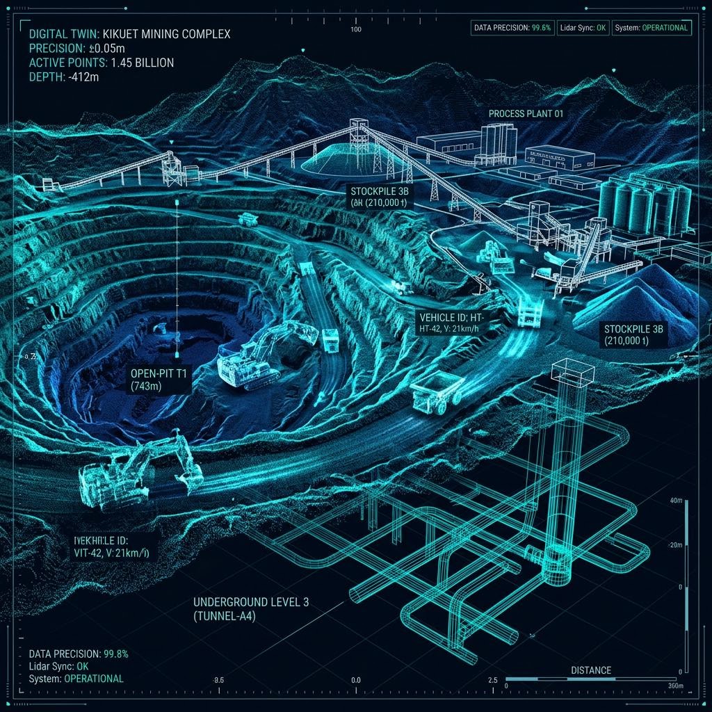
Digital Asset Intelligence
LiDAR scanning, photogrammetry, and 3D digital twins. Millimetre-accurate spatial data for ongoing asset management and capital planning.
View service
Reports & Compliance Documentation
Our deliverables go beyond raw data. We provide actionable, compliance-aligned reports integrated directly into your local government asset management frameworks. Defect prioritisation matrices, maintenance recommendations, and compliance-aligned documentation.
View serviceA rigorous approach to structural certainty.
We remove the guesswork from asset management. Every inspection is carried out by qualified, accredited professionals — executed safely, documented thoroughly, and reported clearly.
1. Scope & Plan
Review historical data, JSA/SWMS preparation, and flight/access planning aligned to specific site constraints.
2. Field Execution
Deployment of CASA-licensed pilots and tertiary-qualified inspectors. Data capture via UAV, NDT equipment, or manual access.
3. Analyse
Engineering review of captured data, defect identification, and grading against AS/NZS tolerances.
4. Report & Comply
Delivery of compliance-aligned documentation, spatial digital twins, and a prioritised remediation matrix.
Industries Serviced
Specialised capability across critical infrastructure sectors.
Local Government
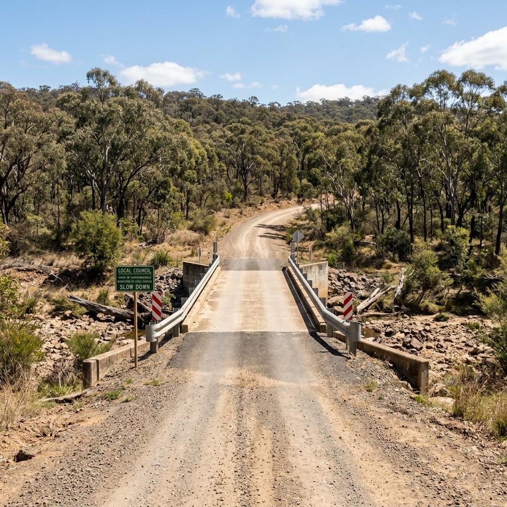
Bridges, culverts, civic buildings, and recreation facilities. Assisting councils with compliance reporting and capital expenditure planning.
Agriculture & Farm
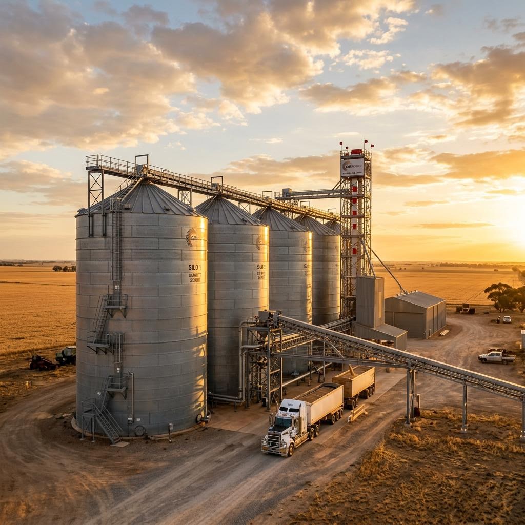
Silos, storage sheds, irrigation infrastructure, and large-scale roofing. Identifying corrosion and structural fatigue early.
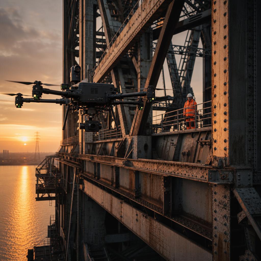
Water Utilities
Dam walls, pump stations, reservoirs, and pipeline infrastructure. Internal and external defect mapping.
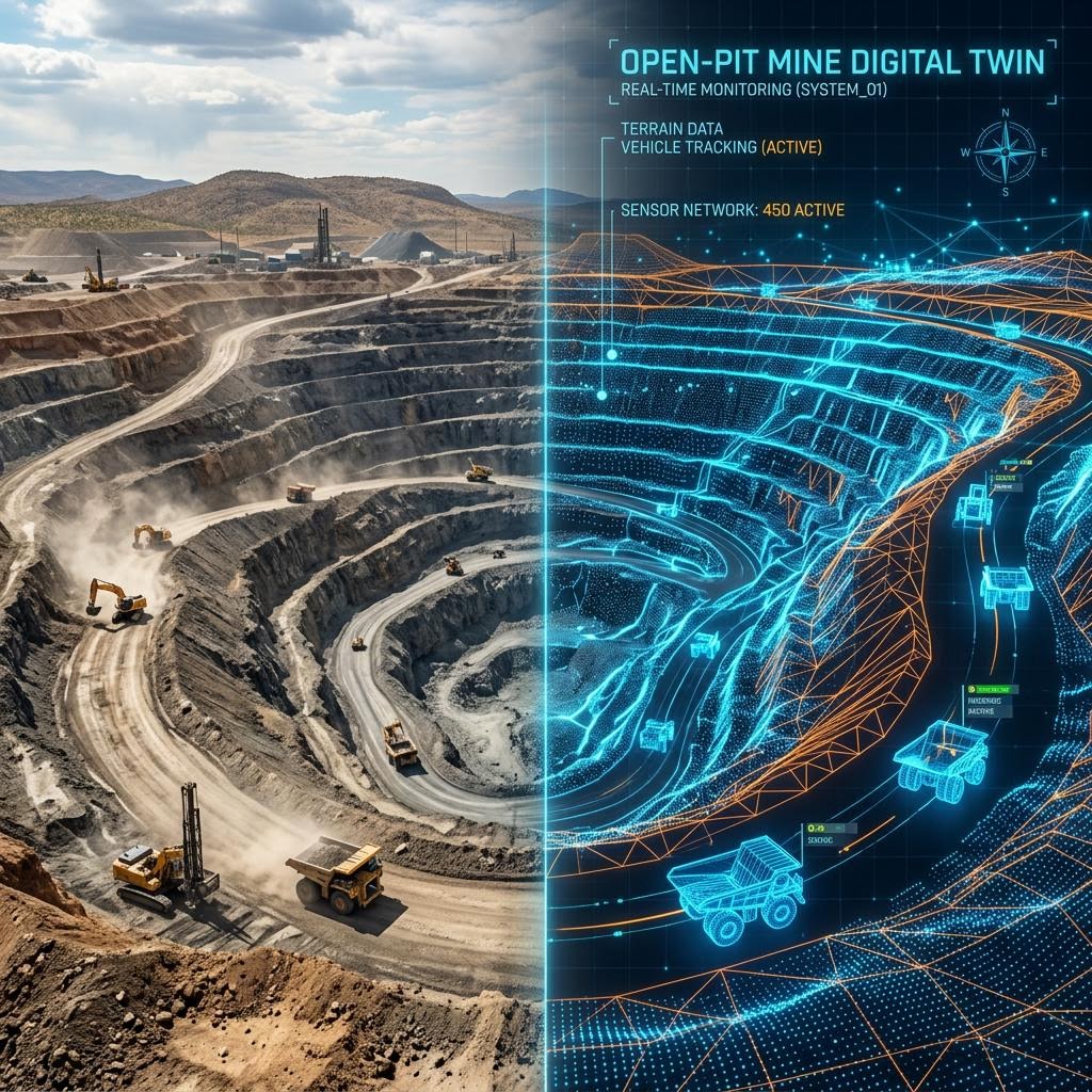
Mining & Resources
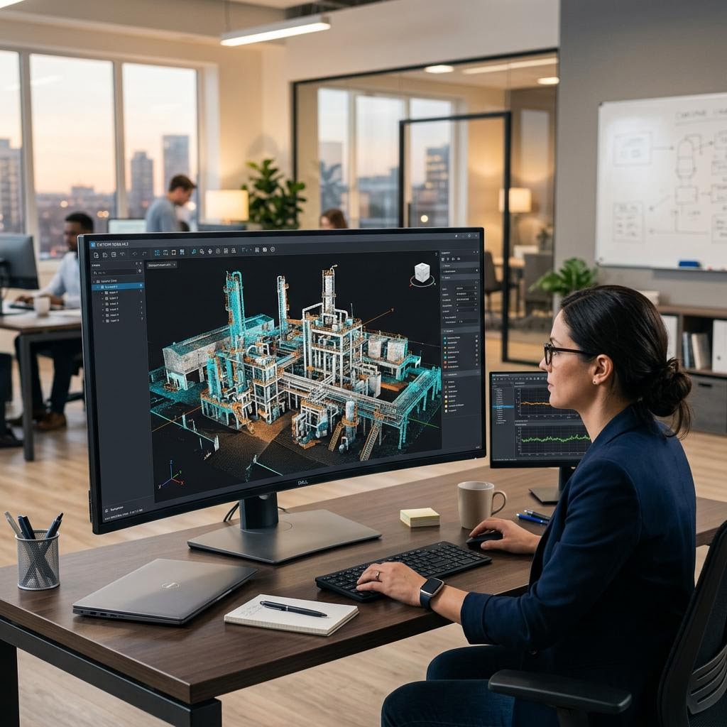
Processing plants, conveyors, stockpiles, and heavy machinery structural inspections. Confined space alternatives.
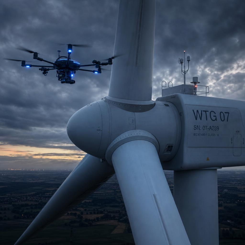
Energy & Renewables
Wind turbine blades, solar arrays, transmission towers, and substations. Thermal imaging for fault detection.
Defence Ready
Security-cleared personnel available for sensitive site operations.
One inspection partner.
Every state and territory.
From metropolitan asset portfolios to the most remote regional infrastructure, our teams mobilise Australia-wide — delivering the same methodology, the same standards and the same defensible reporting on every site.
How We Deliver
Typical engagement scenarios showing how our inspection methodology reduces cost, risk, and downtime.
For a council-scale triennial bridge audit, drone-based under-deck inspection can eliminate scaffolding and traffic management costs entirely — capturing high-resolution visual data that feeds directly into a defect prioritisation matrix for maintenance planning.
A LiDAR-derived digital twin can pinpoint structural deformation in bulk storage assets without putting anyone at height or in confined spaces — delivering a report engineering teams can use directly to tender for repairs.
What we need most is defensible data — reports we can put in front of council and auditors without having to re-verify everything ourselves.
Anything that keeps our people out of confined spaces and off ropes is worth serious consideration — safety exposure is our biggest inspection cost.
We don't have time to interpret raw scans. Give us a prioritised defect list with cost implications and we can act on it straight away.
Request a Quote or Capability Briefing
Speak with our engineering and operations team about your upcoming infrastructure inspection requirements.