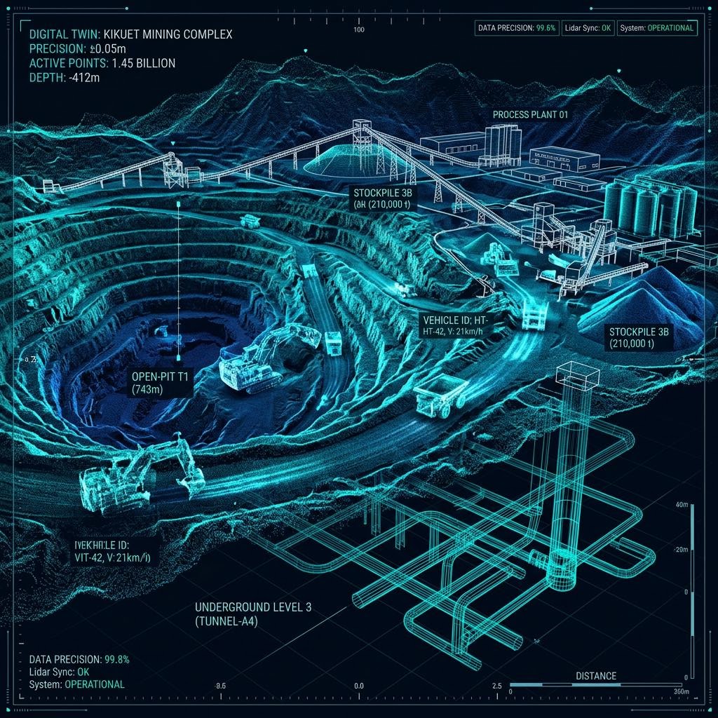
Digital Asset Capture
Precision digital capture that turns physical assets into accurate, measurable digital records — LiDAR, photogrammetry and digital twins that support engineering, planning and asset management.
Request a QuoteWhat This Service Includes
Assets Inspected
- Bridges & civil structures
- Industrial facilities
- Storage & bulk handling assets
- Sites & corridors
- Buildings & facades
Industries Served
Key Benefits
- Millimetre-accurate measurable asset records
- Deformation and change detection between captures
- Engineering-ready models for design and tendering
- No personnel at height or in confined spaces during capture
Technologies Used
Deliverables
Frequently Asked Questions
What accuracy can be achieved?
Accuracy depends on the capture method and control used; LiDAR-based capture routinely supports engineering-grade measurement suitable for deformation analysis and design input.
Can digital twins detect structural movement?
Comparing captures over time pinpoints deformation and movement in structures such as silos, tanks and retaining walls — without anyone working at height or entering confined spaces.
What formats are deliverables supplied in?
Outputs are delivered in industry-standard formats compatible with common CAD, GIS and asset management platforms.
Where We Deliver This Service
Explore the locations explicitly listed for digital asset capture. Contact us to confirm coverage for any other project location.
Plan an asset-specific inspection
Use these practical guides to define the evidence, access and outputs your inspection brief needs.
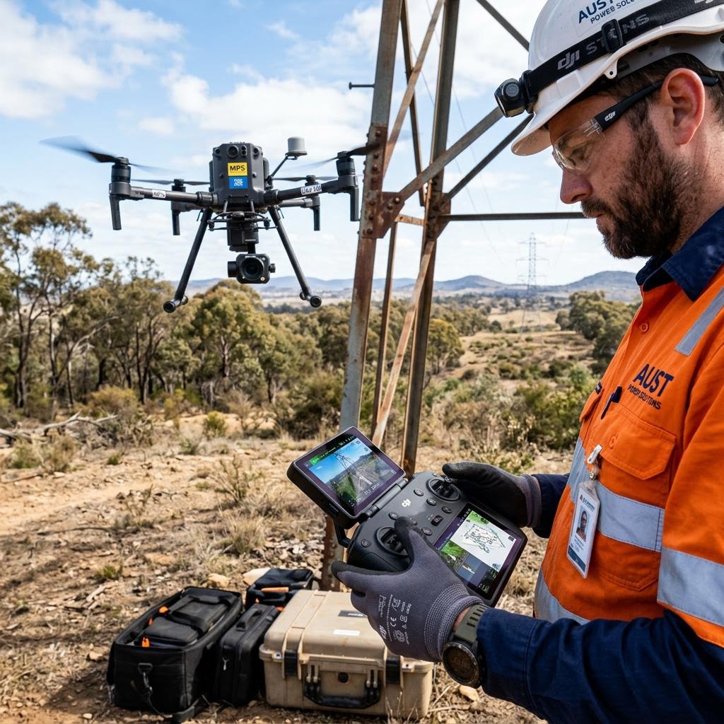
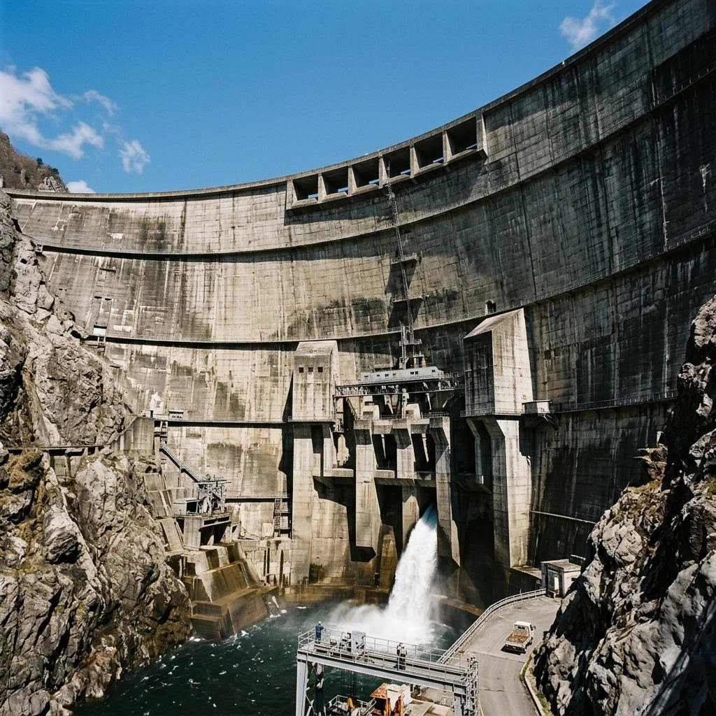
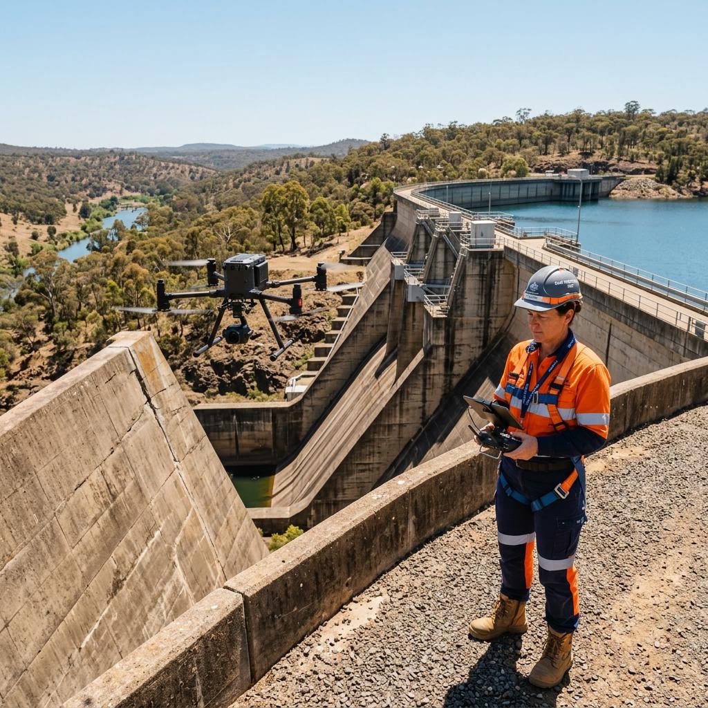
Discuss your digital asset capture requirements
Speak with our engineering and operations team about scoping an inspection program for your assets — Australia-wide.
Request a Quote