
Environmental Inspections
Environmental site inspections and monitoring that give asset owners a clear view of environmental condition, hazards and compliance obligations across their sites and corridors.
Request a QuoteWhat This Service Includes
Assets Inspected
- Utility corridors & easements
- Construction & industrial sites
- Waterways & drainage assets
- Vegetation & land holdings
- Rehabilitation areas
Industries Served
Key Benefits
- Early identification of environmental hazards and non-compliance
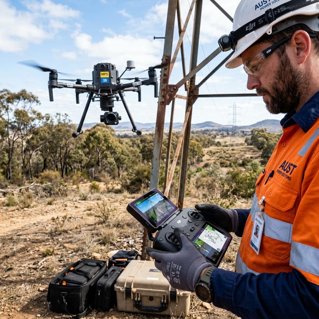
- Broad-area coverage by aerial capture
- Objective photographic and spatial evidence
- Repeatable monitoring across seasons and works programs
Technologies Used
Deliverables
Frequently Asked Questions
Can large corridors be covered efficiently?
Yes. Aerial capture covers long linear corridors and large sites in a fraction of the time of ground-based inspection, with consistent, georeferenced imagery.
Do you monitor rehabilitation progress?
Repeat capture on fixed flight paths tracks rehabilitation and vegetation change over time, providing objective evidence for regulators and stakeholders.
How is the data delivered?
Findings are delivered as clear reports with georeferenced imagery, and mapping outputs can be supplied in GIS-ready formats for your systems.
Where We Deliver This Service
Explore the locations explicitly listed for environmental inspections. Contact us to confirm coverage for any other project location.

Discuss your environmental inspections requirements
Speak with our engineering and operations team about scoping an inspection program for your assets — Australia-wide.
Request a Quote