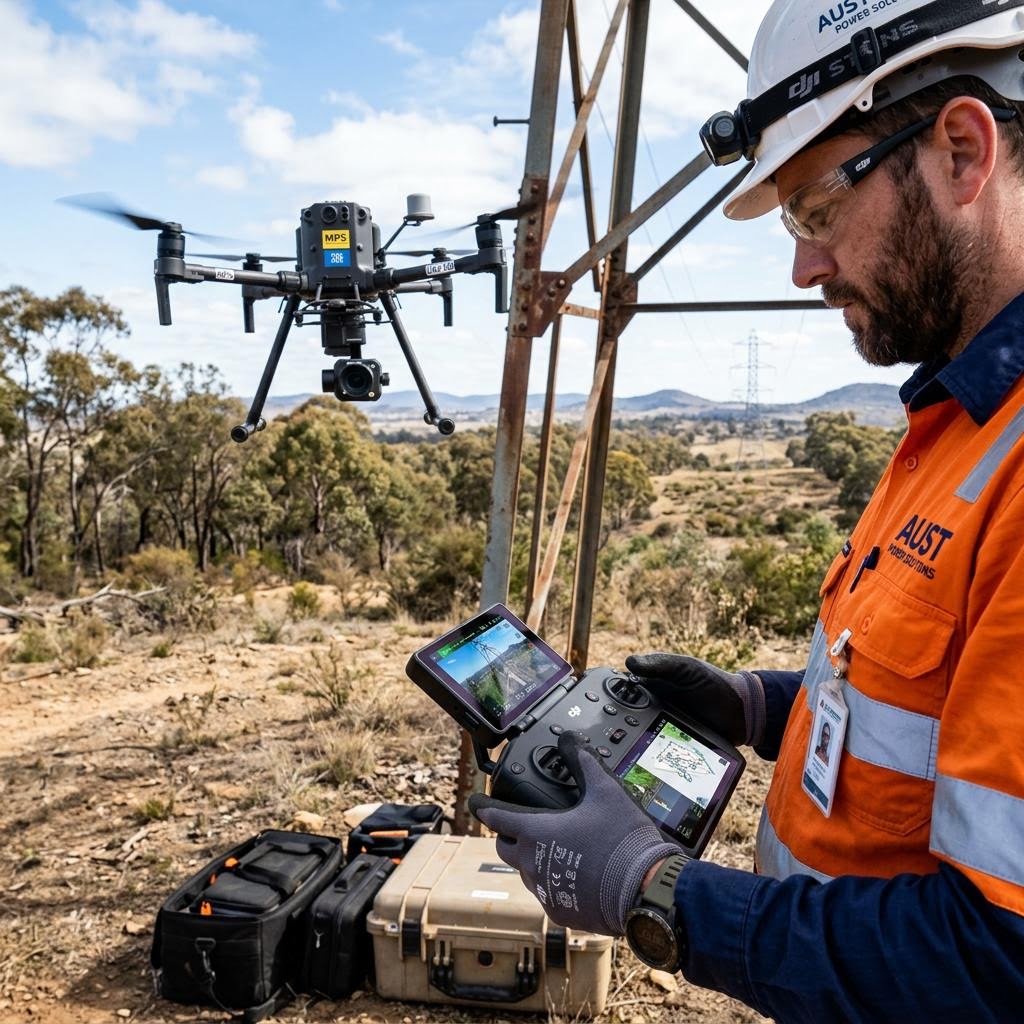
Telecommunications Tower & Asset Inspections
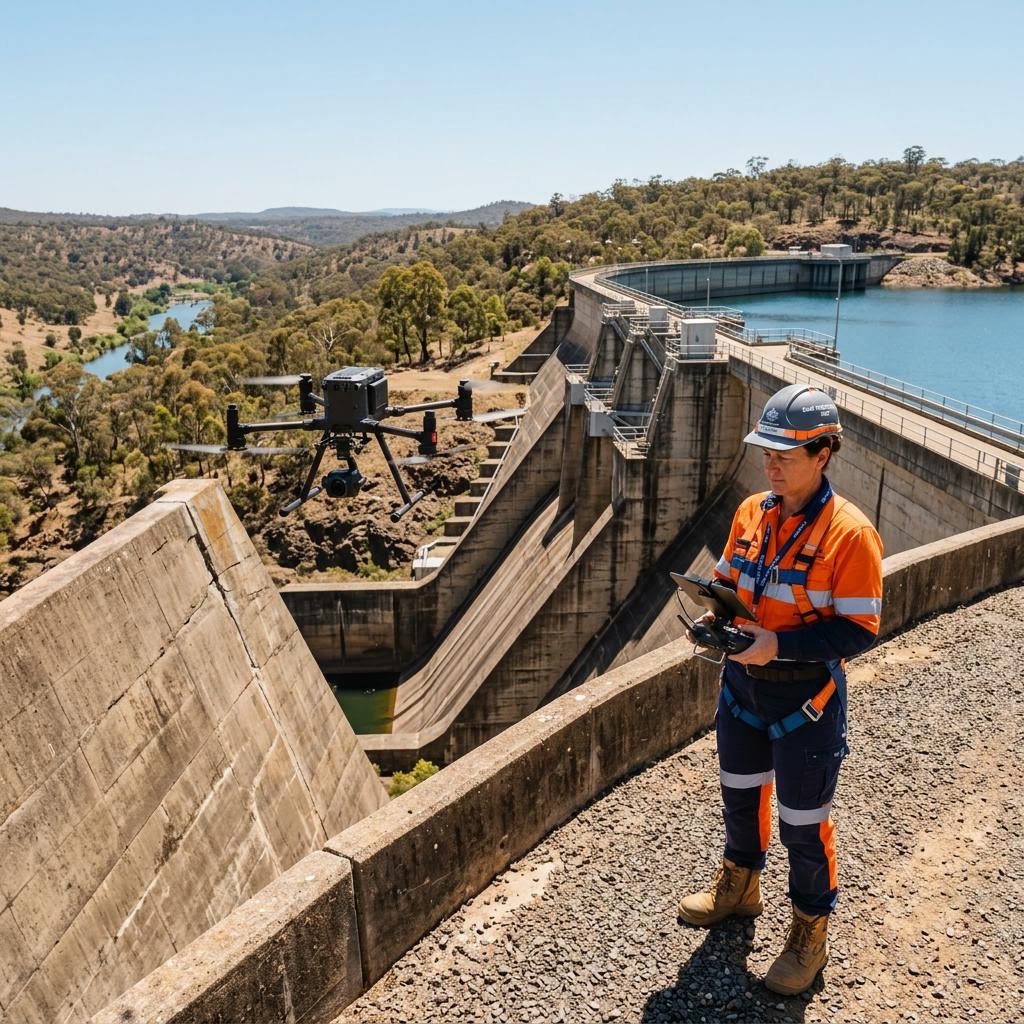
Tower owners and carriers need current, accurate condition and configuration data across thousands of structures — without the cost and risk of climbing crews. Drone capture documents structural condition, mounts and antenna configuration in a single visit.
Request a QuoteChallenges We Solve
Assets We Inspect
- Lattice towers & monopoles
- Guyed masts
- Rooftop installations
- Antenna mounts & headframes
- Equipment shelters & compounds
Why Asset Owners Choose Us
- Full tower capture without climbers or rescue crews
- High-resolution documentation of every mount and antenna
- Corrosion and defect identification from top to base
- 3D models supporting co-location and structural analysis
Services for Telecommunications
Frequently Asked Questions
Can towers be inspected while transmitting?
Yes. Aerial capture is performed at compliant standoff distances in line with the site's RF safety requirements, without service interruption.
What detail is captured for mount audits?
High-resolution imagery documents antenna types, mounts, feeders and hardware condition with enough detail to update configuration records and support co-location assessments.
Can you produce 3D models of towers?
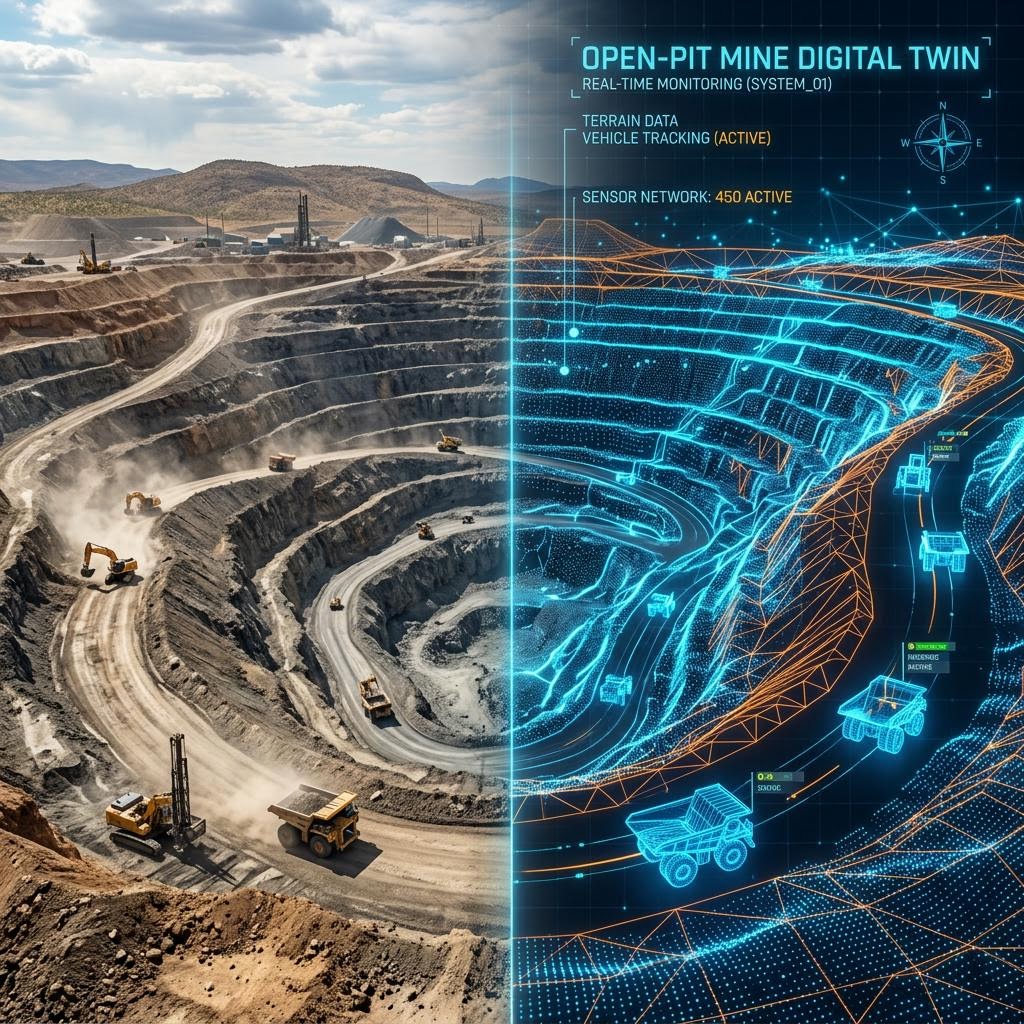
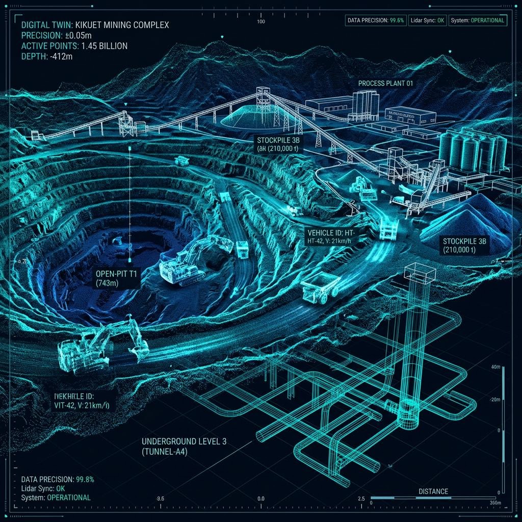
Photogrammetry and LiDAR capture produce measurable 3D models suitable for structural analysis input and co-location planning.
Discuss your telecommunications inspection requirements
Speak with our engineering and operations team about scoping an inspection program for your assets — Australia-wide.
Request a Quote