Asset Inspections in Cairns
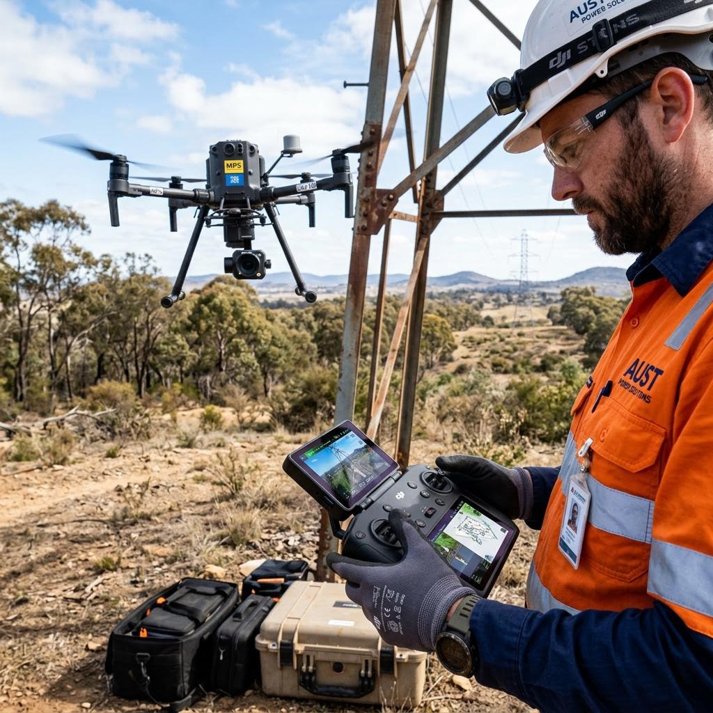
Cairns operates tourism, marine and community infrastructure in one of Australia's most demanding climates — cyclones, monsoonal rain and relentless humidity. From the marlin marina and wharf structures to hinterland bridges and remote Cape communities, we capture condition data that keeps Far North assets safe, insurable and fundable.
Request a QuoteWhy Asset Owners in Cairns Engage Us
Assets We Inspect in Cairns
- Marinas, wharves & marine structures
- Tourism, resort & venue buildings
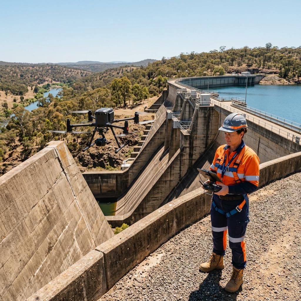
- Council bridges, jetties & drainage
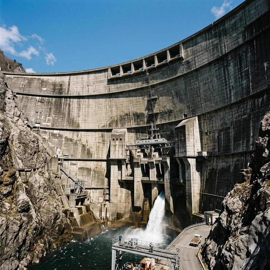
- Remote community & Cape infrastructure
- Airport & aviation support facilities
Frequently Asked Questions
Do you inspect marina and wharf structures?
Yes. Drone and close-visual capture documents piles, decks and fenders above the waterline, with NDT applied where section loss or decay is suspected.
Can you reach remote Cape York and Tablelands assets?
Remote scopes are staged as campaigns from Cairns, bundling multiple communities or asset groups per mobilisation to keep cost per asset down.
Do reports support disaster recovery funding claims?
Post-event documentation is structured to support insurance claims and disaster recovery funding submissions with timestamped, georeferenced evidence.
Discuss your inspection requirements in Cairns
Speak with our engineering and operations team about scoping an inspection program for your assets — local capture, defensible data.
Request a Quote